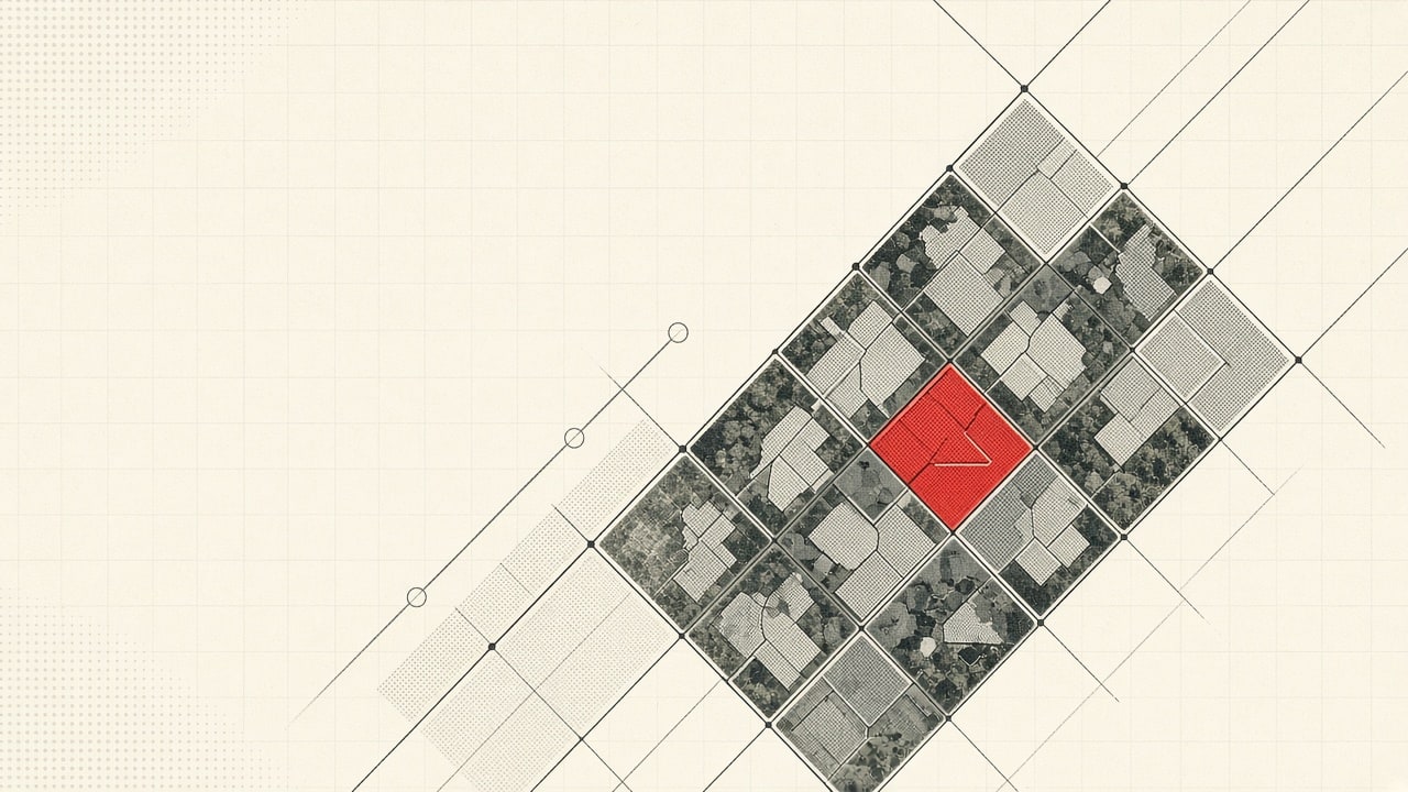
Municipal gis drone ai impervious surface runoff audit systems are transforming how local governments fund, build, and maintain public drainage infrastructure. Severe urban flooding, aging stormwater drainage pipes, and federal Clean Water Act National Pollutant Discharge Elimination System (NPDES) permits require cities to spend tens of millions of dollars on retention basins and stormwater flood mitigation.
To fund these massive capital projects equitably, thousands of municipalities operate dedicated Stormwater Utility Fees (SUF). Rather than funding drainage through general property tax funds, stormwater utilities assess fees based on each parcel’s contribution to urban runoff. This fee structure is directly proportional to a property’s impervious surface area (including rooftops, asphalt parking lots, concrete driveways, and paved loading zones) that prevent rainfall from absorbing into soil.
However, manually digitizing impervious surface polygons using low-resolution satellite imagery is slow and inaccurate. Commercial property owners contest assessments, and unrecorded asphalt expansions escape billing. Deploying high-resolution drone orthomosaics paired with convolutional semantic segmentation networks enables municipal GIS teams to audit impervious surfaces at sub-centimeter accuracy.

How Do Cities Use Drone Aerial Imagery and AI to Calculate Impervious Surface Area?
Automated parcel runoff auditing replaces manual tracing with automated computer vision pipelines operating over multispectral aerial orthomosaics:
+--------------------------------------------------------------------------+
|          DRONE AI IMPERVIOUS SURFACE RUNOFF SEGMENTATION PIPELINE        |
+--------------------------------------------------------------------------+
|                                                                          |
|  Multispectral Drone Orthomosaic Ingestion:                              |
|  - High-Resolution RGB + Near-Infrared (NDVI) Aerial Imagery             |
|  - Sub-Centimeter Spatial Resolution (GSD < 1.5 Inches Per Pixel)        |
|                                                                          |
|                                   |                                      |
|                                   v                                      |
|  Deep Convolutional Segmentation Model (U-Net / Mask R-CNN):             |
|  - Identifies Hardscape: Rooftops, Concrete, Asphalt, Pervious Pavers   |
|  - Distinguishes Canopy Shadow Artifacts and Synthetic Turf Pellets     |
|  - Calculates Accurate Net Impervious Square Footage Per Parcel          |
|                                                                          |
|                                   |                                      |
|                                   v                                      |
|  Municipal GIS and Billing Synchronization:                              |
|  - Clips Polygons Against County Tax Assessor Cadastral Boundaries       |
|  - Generates Equivalent Runoff Unit (ERU) Billing Factor in Utility ERP  |
+--------------------------------------------------------------------------+- Near-Infrared (NIR) Multispectral Discrimination: Standard visible-light cameras struggle to differentiate green pervious lawns from green-painted concrete patios or artificial synthetic turf. Integrating near-infrared camera bands calculates the Normalized Difference Vegetation Index (NDVI), instantly separating biological turf from artificial impervious ground cover.
- Tree Canopy Shadow Penetration: In residential neighborhoods, broad mature tree canopies cast dense shadows over asphalt driveways and sidewalks, confusing basic pixel-thresholding tools. Semantic segmentation networks learn contextual geometric contours, accurately classifying shadowed asphalt based on roadway curvature and curb boundaries.
- Pervious Pavement Discrimination: Modern commercial developments install permeable pavers and porous concrete to earn stormwater fee credits. High-resolution drone imagery enables machine learning models to detect distinct textural joint patterns, ensuring property owners receive rightful stormwater credit deductions.
What Methods Verify Commercial Parcel Runoff Assessments for Stormwater Utility Fees?
When a commercial shopping plaza or industrial logistics warehouse receives an adjusted annual stormwater bill reflecting twenty thousand additional square feet of paving, commercial property managers frequently file formal assessment protests. Municipalities defend utility billing through verifiable evidence:
| Audit Dimension | Traditional Manual Digitizing | Drone AI Aerial Segmentation |
|---|---|---|
| Spatial Resolution | 1-foot to 3-foot satellite resolution | 1-inch sub-centimeter drone orthomosaic |
| Pervious Paver Detection | Missed; classified as solid concrete | Texture analysis detects gravel/permeable joints |
| Audit Cycle Frequency | Every 5 to 7 years | Quarterly or annual rapid drone flyovers |
| Appeals Evidence | Hand-drawn vector sketch | Timestamped, high-resolution orthomosaic with overlay |
| Processing Speed | 45 minutes per commercial parcel | 12 seconds per parcel automated segmentation |
Managing continuous geospatial vector layers and historical parcel revisions across thousands of properties requires dependable data management, utilizing practices proven in our zero-downtime database migrations architecture.
How Do GIS Departments Integrate AI Parcel Segmentation with Municipal Billing?
Geospatial data delivers financial value only when synchronized directly with municipal utility billing and Enterprise Resource Planning (ERP) databases:
1. Equivalent Runoff Unit (ERU) Calculation
Most municipal billing ordinances define an Equivalent Runoff Unit (ERU) as the statistical average impervious surface area of a single-family residential home (typically between 2,500 and 3,000 square feet). The AI engine divides each parcel’s measured impervious square footage by the municipal ERU factor to calculate the exact monthly billing multiplier.
2. Automated CAD/GIS Cadastral Clipping
The model ingests the county tax assessor’s cadastral boundary shapefile. It automatically clips segmented impervious polygons against legal parcel boundary lines. If a shared commercial access driveway spans three separate commercial lots, the algorithm calculates the exact proportional square footage belonging to each tax parcel ID.
3. Utility Billing ERP Synchronization
Once verified by a municipal GIS technician, the updated ERU count streams via API into the city’s utility billing system (e.g., Tyler Technologies Incode, CentralSquare, or Oracle Utilities), reflecting integration models detailed in our guide on building a small business tech stack from scratch. Water resource supervisors track city-wide runoff fee equity through executive operational dashboards inspired by our real-time analytics dashboards for e-commerce, adhering to stormwater management guidelines published by the U.S. Environmental Protection Agency.

Sub-Centimeter Multispectral Aerial Image Ingestion Pipeline
Processing municipal-scale drone datasets requires an efficient geospatial imaging pipeline:
- Autonomous Drone Flight Planning: Commercial drones fly programmed cross-hatch grid patterns at four hundred feet above ground level with seventy-five percent forward and side image overlap.
- Structure-from-Motion (SfM) Photogrammetry: Cloud servers stitch thousands of high-resolution aerial frames into a radiometrically calibrated, orthorectified composite geotiff tile.
- Digital Surface Model (DSM) Elevation Modeling: Surface elevation models separate flat asphalt parking lots from raised building roofs, providing structural geometry that improves segmentation accuracy.
Semantic Segmentation Neural Network Training for Hardscape Classes
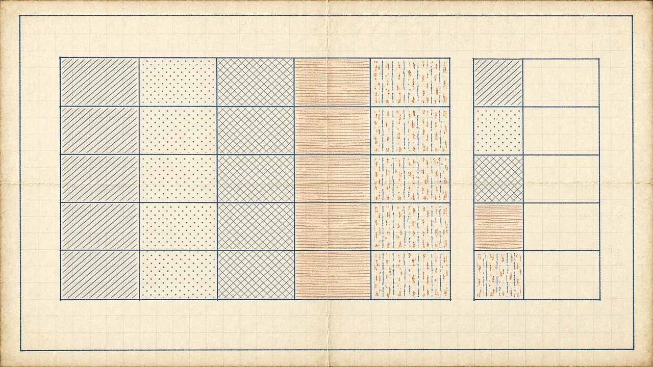
The deep learning model categorizes parcel land cover into five distinct hydrological categories:
1. Roof Structures (Class 01)
High-reflectance residential shingles, commercial membrane roofs, metal industrial canopies, and solar panel arrays.
2. Transport Hardscape (Class 02)
High-density asphalt roads, private parking lots, concrete service ramps, and gravel loading zones with compacted low-permeability bases.
3. Permeable Hardscape (Class 03)
Engineered pervious concrete, interlocking turf pavers, and crushed stone French drain perimeters qualifying for fee mitigation credits.
4. Managed Vegetative Cover (Class 04)
Residential turfgrass, commercial landscaping, rain gardens, and retention basin swales that absorb runoff.
Municipal Stormwater Impervious Surface Audit Checklist
Stormwater utility managers, city engineers, and GIS coordinators should evaluate their parcel auditing workflows against these practical benchmarks:
- High-Resolution Imagery Standard: Drone orthomosaics capture imagery with ground sampling distances under 1.5 inches per pixel.
- Multispectral / NDVI Integration: Near-infrared imagery captured to distinguish biological lawns from artificial surfaces.
- Cadastral Boundary Synchronization: Automated polygon clipping against county parcel boundary shapefiles.
- Equivalent Runoff Unit Standardization: Software calibrated to municipal ERU square footage definitions.
- Permeable Credit Workflow: Texture analysis models trained to recognize and credit engineered permeable pavers.
- Appeals Evidence Generation: Automated generation of timestamped orthomosaic aerial cards for billing dispute hearings.
- Direct Utility ERP Interface: Automated API synchronizing ERU counts with municipal water and drainage billing software.
Conclusion
Stormwater infrastructure is a critical municipal asset requiring predictable, fair-share capital funding. Relying on outdated manual map tracing results in millions of dollars in unbilled commercial runoff, unfair rate burdens on residential homeowners, and contentious assessment disputes. By combining high-resolution drone orthomosaics with deep learning semantic segmentation, municipal GIS departments achieve equitable, transparent, and legally defensible stormwater utility billing that protects local watersheds and municipal balance sheets.